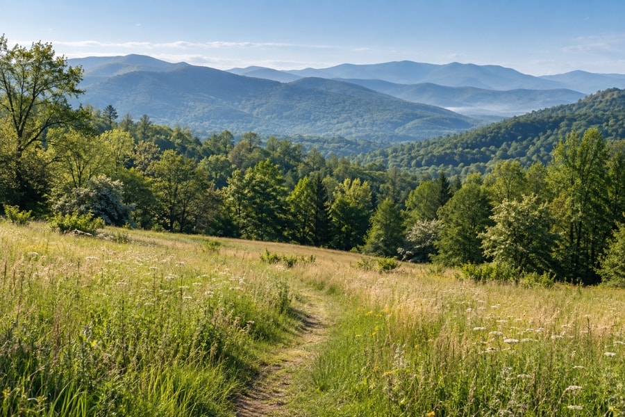
Birding around Asheville can move from wet valley ground to cool summit woods in a relatively small region. That variety is the attraction and the planning challenge. Pick one habitat to learn well, or compare two without rushing through either.
Sandy Mush Game Land: open country and wooded edges
Sandy Mush Game Land lies in Buncombe and Madison counties along the French Broad River and includes fields, former pasture, shrubby early-stage growth and woodlots. The mix creates long edges where open-country observation meets forest listening. The North Carolina Wildlife Resources Commission’s game-land plans provide the official management context.
Game lands are active, multi-use landscapes rather than dedicated bird parks. Check current rules and seasons with the Commission before any visit, wear high-visibility clothing when appropriate, and never assume yesterday’s access conditions still apply. Work from established public routes and give management activity generous space.
Jackson Park: stream, woodland and open parkland
Jackson Park is at the southeastern edge of Hendersonville. Official county information describes a nature trail and a connection to the Oklawaha Greenway. For a birder, the useful feature is contrast: wooded sections, streamside cover, edges and open recreational ground sit close together.
Because this is a busy public park, birding should fit around other users. Stand aside before stopping on a shared path, keep optics pointed away from people and private spaces, and expect activity levels to change. See the Henderson County Jackson Park page for current official information.
Blue Ridge Parkway: an elevation transect
The Parkway passes through a succession of forests, meadows, streams and high ridges. The National Park Service describes nesting habitat from valley bottoms to spruce-fir forest at the highest elevations, with additional birds passing during spring and fall migration. That makes elevation a useful planning tool.
Do not treat overlooks as interchangeable. Notice whether the view reaches an open sky, a cove, a stream corridor or a closed canopy. Conditions can differ sharply along the route, and closures may interrupt any plan. Read the official Parkway birds page, then check current conditions directly with the Park Service before travel.
Mount Mitchell: high-elevation forest
Mount Mitchell State Park protects a summit landscape where Fraser fir forest gives visitors a clear example of high-elevation habitat. The visual field is different from a lowland park: dense evergreen structure, fog, wind and steep terrain can matter as much as distance.
The official Mount Mitchell State Park page is the source for current access and conditions. Mountain weather changes quickly; never carry a fixed access claim from this guide into the field.
How to choose a place
Start with the day’s limits. If time is short, learn one edge thoroughly. If weather is unsettled at elevation, choose a lower site rather than forcing a summit plan. If you want to practice sound, favor a quieter wooded route; if you want to practice scanning, seek open water, meadow or sky.
A strong route does not need to cover every habitat. Choose one or two questions for the outing: how activity changes from sun to shade, what appears where a field meets woods, or how sound carries along water. Focus makes the notes easier to compare later. It also leaves enough attention for footing, other visitors and the rules of the land.