An urban wetland
Read Beaver Lake Bird Sanctuary as a visitor: open water, reed edge, wet ground, woodland margin and a boardwalk loop.
Look slowly. Listen first. Let habitat set the pace.
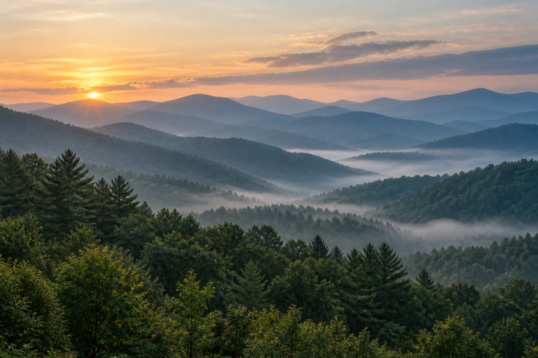
Asheville · Buncombe County · the western mountains
A practical, independent reference for reading the mountain landscape: urban wetland, open game land, shaded stream, hardwood canopy and the cool forests of the highest ridges.
This site is an independent birding and conservation resource for western North Carolina. It is not affiliated with, endorsed by, or connected to the National Audubon Society, Audubon North Carolina, or Blue Ridge Audubon (formerly the Elisha Mitchell Audubon Society). Blue Ridge Audubon's official website is blueridgeaudubon.org.
Begin with habitat
Western North Carolina rewards birders who pay attention to elevation, water, forest age and season. A sheltered lake edge can feel entirely different from an open agricultural tract, and the spruce-fir woods near the highest summits belong to another climate again.
This guide starts with those contrasts. It offers orientation rather than a promise of particular sightings. Birds move, weather changes, and access rules are revised. The dependable skill is learning to read the place in front of you: where water meets cover, where a canopy opens, where fruiting shrubs edge a trail, and where a quiet pause lets calls emerge from background sound.
The North Carolina Wildlife Resources Commission birdwatching guide provides a statewide starting point. The National Park Service overview of Parkway birds explains how habitats change from valley bottoms to the highest forests.
From the field desk
These guides work together. Start with a place, plan around the season, record what you can support, and leave the habitat quieter than you found it.
Read Beaver Lake Bird Sanctuary as a visitor: open water, reed edge, wet ground, woodland margin and a boardwalk loop.
Follow broad seasonal shifts without turning a living place into a fixed species checklist.
Compare Sandy Mush Game Land, Jackson Park, the Blue Ridge Parkway and Mount Mitchell’s high forest.
A month-by-month planning guide built around daylight, leaf cover, migration and mountain weather.
Layer native vegetation, make glass visible, manage feeders carefully and keep cats indoors.
Turn a sighting into a useful record with date, location, effort, count and honest identification notes.
A slower practice
Field guides are excellent tools, but the most useful observations often begin before a name is known. Notice size, shape, posture, movement and the layer of habitat being used. Listen for rhythm and repetition. Mark the light, distance and viewing angle that might affect color.
On a mountain trail, it is easy to hurry toward the next overlook. A better rhythm is to stop where habitats meet and give the scene time to settle. At a wetland, scan open water and vegetation separately. In a hardwood forest, look from leaf litter to understory to canopy. In an open meadow, check fence lines, shrub edges and the sky.
If an identification remains uncertain, leave it uncertain. A careful note about an unknown bird is more useful than a confident guess. The same principle shapes this whole site: specific claims appear only where reliable sources support them, while the rest of the guidance concentrates on durable field habits.
Let the return trip become part of the practice. Revisit a short route in different light, weather and leaf conditions, keeping the observation method similar. Familiarity makes small changes easier to recognize: a newly opened view, a quieter edge, a fruiting shrub or a shift in where activity gathers. The result is not a promise about what should be present. It is a steadier way to notice what the landscape is doing.
A regional birding plan begins with the kind of attention a place allows. Choose a route with room for listening stops, a clear return and a place to set down a pack without obstructing others. Decide whether the day is for a close study of one habitat edge or a comparison between two accessible viewpoints. Then make the equipment and walking plan fit that choice. Budget listening time separately from time spent walking. The mountain birding fieldcraft guide brings route planning, carrying optics and changing viewing posture into that preparation. Keep a short note afterward about where attention drifted from birds to logistics: a difficult descent, an awkward pack or a stop with nowhere to stand aside. Use that observation when choosing the next outing.